The South and East coasts were hit by an incredibly large snowstorm this past week. Union County received well over a foot, one of the largest amounts in the past 5 years. The storm started early Sunday morning around 5 AM and continued throughout the day with snowfall rates reaching 2-3 inches at its peak. The expectation was 8-12 inches, resulting in a Winter Storm Warning all weekend as we approached it. With the final snowfall ending late Sunday Night, Summit received around 14 inches in total, exceeding original predictions. Many stores sold out of goods well before the blizzard, looking apocalyptic by Friday. The large amount of snow, paired with the cold temperatures resulting in ice as well as poor visibility, making travel extremely dangerous. NJ Transit suspended rail service on Sunday, and caused disruption for commuters heading into Monday. Local schools, including ours, closed on Monday and had a delayed opening on Tuesday because of the overwhelming amount of snow. After the snowstorm, there was an arctic blast. The temperatures were in the low teens and even single digits, which has persisted since. This cold has kept the ice from melting, and the roads are hazardous, too. This was definitely a challenging event and one hard to forget.
Brutal Snowstorm for North America
February 2, 2026
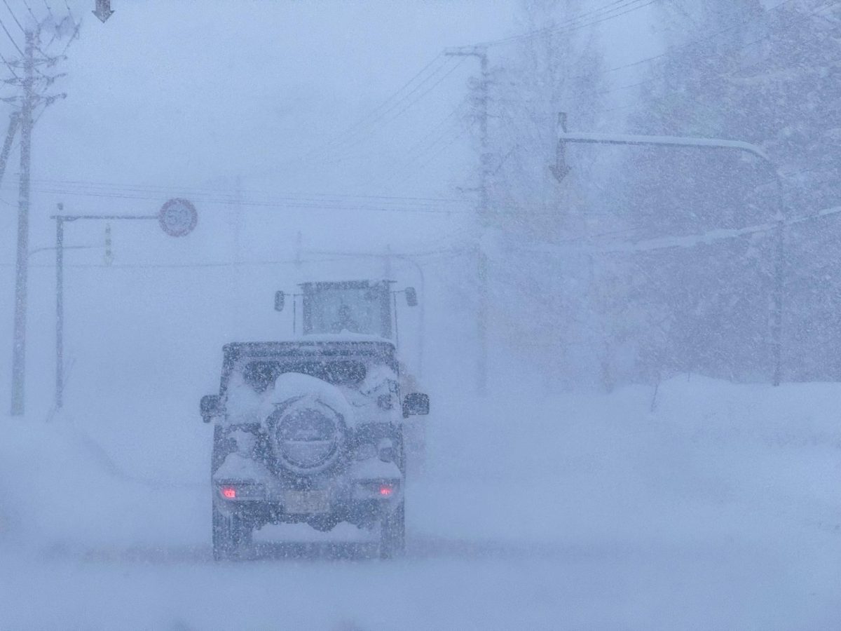
Image from ShutterStock
About the Contributor

Anthony Gentile, Staff Writer
Hi, I’m Anthony Gentile, and I am in the class of 2028. Along with writing for the Omega, I am in the St. Philip Neri and Business club. I am also a Carlton Fellow and an Oratory Volleyball player.